On Friday, February 27, SJRK teamed up with the GIS crew from Jacksonville University for a full day on the water visiting our submerged aquatic vegetation (SAV) temporary enclosure sites.
Using drone technology, we captured aerial images and video to measure grass bed width, length, and canopy height – giving us a new view of how SAV is recovering inside our temporary protective enclosures. This data will help us map growth rates across the 80-mile stretch of river we are studying, and better understand why some areas rebound faster than others.
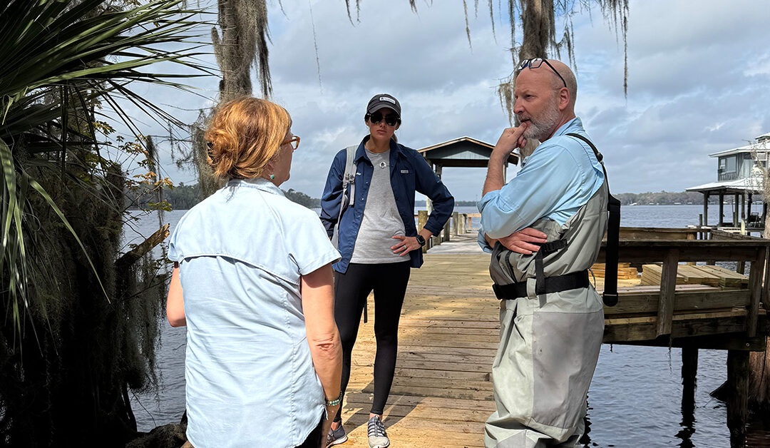
We also had the opportunity to connect with Dr. Mary Miller, Dr. Malcolm Hill, and their team of sponge scientists and researchers, who were surveying sponge populations at multiple sites throughout the river and surrounding tributaries. Their mission is to uncover the environmental factors driving sponge distribution and health. They also assessed these populations both inside and outside of our protected areas.
Science, collaboration, and a shared commitment to restoration – all in one day on the river. We can’t wait to see what their research reveals!
Learn more about the SAVe Our River’s Grasses Expedition
Our 2025 expedition report will be shared soon.